Residents Map North St. Louis, Learn About Geospatial Intelligence at Community Mapathons
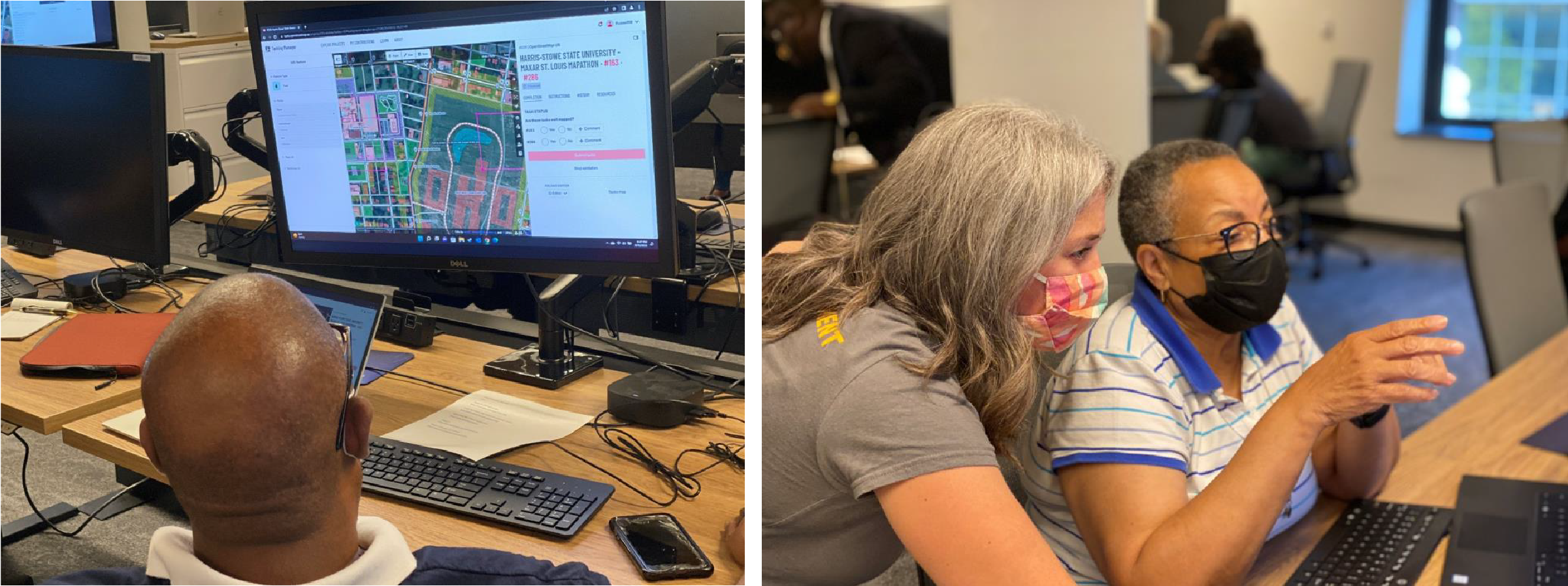
Dozens of St. Louis, residents were introduced to geospatial intelligence and learned firsthand the impact it can have in their community at a series of interactive mapping events held in August. The National Geospatial-Intelligence Agency, in collaboration with Harris-Stowe State University, Maxar and SLDC hosted two community Mapathons at the agency’s Moonshot Labs facility on Aug.10 and 13, which focused on mapping the area in and around the Next NGA West facility. The Mapathons were the next in a series of GeoHornet mapping efforts introduced by HSSU and participating organizations in 2021 to coordinate and facilitate the improvement of open geographic data in St. Louis. The goal of this year’s Mapathons was to engage community leaders from the six Project Connect neighborhoods in North St. Louis surrounding NGA’s future facility in the exploration of geospatial tools and data to discover how human talent uses current technology to achieve NGA’s mission. Community Mapathon 2022 participants used OpenStreetMap, an open-source mapping application that applies crowdsourcing to fill gaps in geospatial intelligence data by identifying buildings, streets, landmarks, parks and recreation areas and other important features provided by contributors.